
Post actualizado el día September 27, 2026 by DeiviSanzPlay
This is a fascinating question that has to do with the precision, functionality, and aesthetics of how we represent our planet. Since ancient times, humans have tried to find the ideal way to represent the Earth on maps and globes, but over the years, different techniques have been developed, and each one has its own advantages and disadvantages. In this article, we will explore the various options available to represent our world and which could be the most accurate way to show the planet on a map.
I recommend you check out this interesting article: 🌐 The LIE of 5G NETWORKS: They Don’t Give You More Internet!.
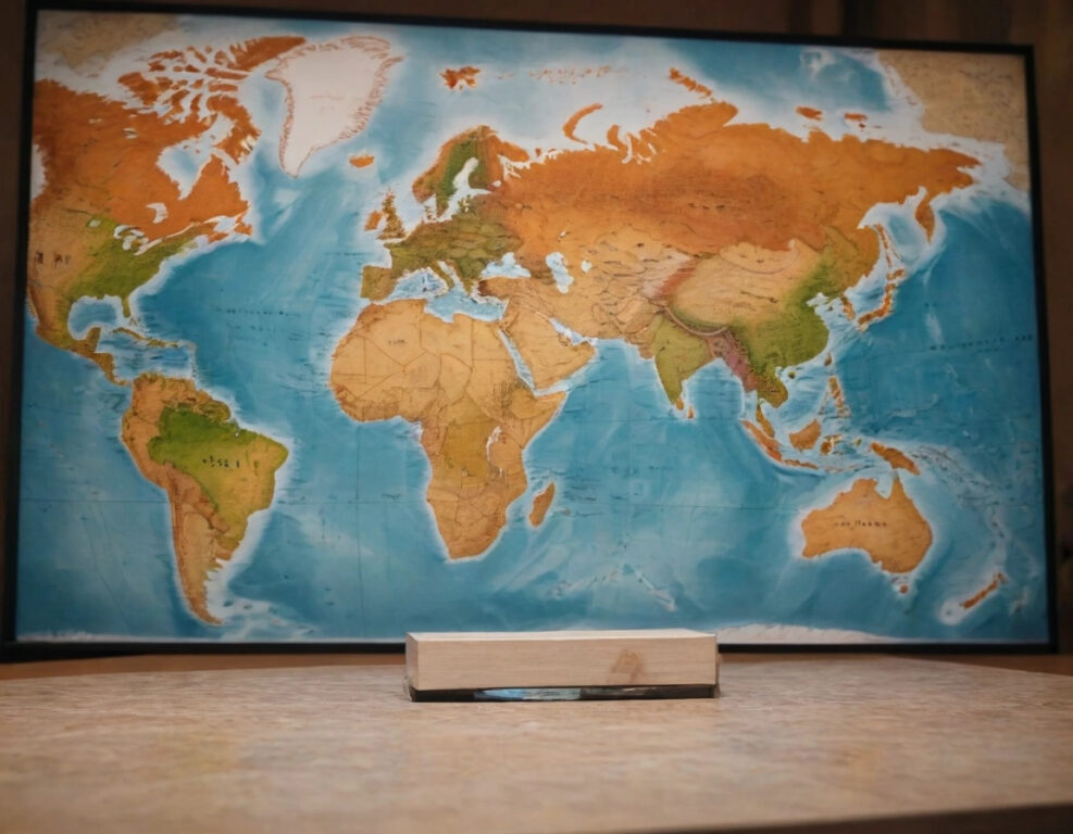
When it comes to showing the world’s geography, there are several types of map projections that are used on maps. Map projections are ways of representing the <a href="https://www.chusmeando.com/limpieza-del-hogar/estrategias-efectivas-para-eliminar-el-moho-de-cualquier-surface/” title=”Effective Strategies to Remove Mold from Any Surface”>curved surface of the Earth on a flat surface. However, no projection is perfect, since there will always be distortions. The most common ones include the Mercator projection, which is famous for its straight lines, and the Robinson projection, which seeks a visual balance between areas and distortion. It is important to understand the characteristics of each one to determine which is the most suitable for the purpose at hand.
Despite the various projections available, the advantages of using a globe terrestrial versus a flat map are clear. A globe is a three-dimensional representation of the Earth, which allows you to see the correct proportions of continents, oceans, and countries. While flat maps can compress or stretch certain areas due to the distortion inherent in map projections, a globe offers a much more accurate and authentic visualization of global geography. In fact, if you are looking for an accurate and visually appealing representation of the world, terrestrial globes will always be the ideal option.
So, what is the best way to visualize world geography? If what you are looking for is a complete and accurate understanding of the distribution of the Earth, the best thing is to opt for a globe. However, if you need to study specific details, such as political borders, thematic maps, or trade routes, maps are still a valuable tool. The choice between a map and a globe depends on what you want to emphasize or study in detail.
What type of projection is ideal for showing the Earth? There is no single answer to this question, since it depends on the purpose. The Winkel Tripel projection is popular for its good balance between area and angle distortion, while the Eckert IV projection is excellent for representing large regions with less distortion. If you need accuracy in local areas, you can consider a conformal or equal-area projection, which focuses more on accuracy in a specific zone.
Comparison between maps and globes for representing the Earth leads us to a reflection on the practical use of each one. A flat map is ideal for studying geographic features in detail, such as lines of latitude and longitude, or for analyzing small areas such as cities or specific regions. Thematic maps, which represent specific data such as population density or natural resources, are also much easier to create in flat format. On the other hand, a globe provides a global vision, ideal for understanding the relationship between the various parts of the world, without significant distortions.
When talking about globes and their characteristics, it is essential to mention that there are many different types. Some are interactive, others are physical, and some are even illuminated to represent the distribution of sunlight in different parts of the planet. The different types of globes range from the simplest educational models to luxury ones, which offer precise details of geography, climate, and other scientific aspects. If you are passionate about geography, having a globe at home is an excellent way to explore and learn about the world.
Why are map projections important? Map projections not only have great relevance for science and education, but they also influence how we perceive the world. Different types of projections can give a very different idea of the distances, sizes, or shapes of countries. For example, the Mercator projection, which was used for centuries, exaggerates the size of areas near the poles, while other projections, such as the Gall-Peters projection, show more accurate areas in terms of surface area.
When it comes to choosing the best map or globe to study the Earth, it depends on how detailed or accurate the information you need must be. For general global studies, a globe is ideal, while for deeper research, especially in smaller areas, a detailed map may be the best option. There are specialized maps for almost anything, from topographic maps to political maps, making them a flexible and essential tool for various fields of study.
Finally, when comparing globes and flat maps, each has advantages and disadvantages, and the decision depends on your specific needs and goals. Globes are excellent for a visual and accurate understanding of the world as a whole, while flat maps offer a greater amount of detail and are easier to use for studies focused on small areas.
In summary, what is the best way to show the Earth on maps and globes? There is no definitive answer, since the best way depends on what you need to study. If you are looking for an accurate global representation, globes are ideal, while maps can offer more specific details and are perfect for studying particular topics such as politics or natural resources. Both have their place and their function in the world of cartography, so the key is to choose the one that best suits your needs.